Date Completed: March 2022
Difficulty: Novice+ (river between Kimberley and Heathcote is flat and meandering; from Heathcote onwards the river includes several rapids up to Class II depending on water levels)
Method of Travel: Canoe
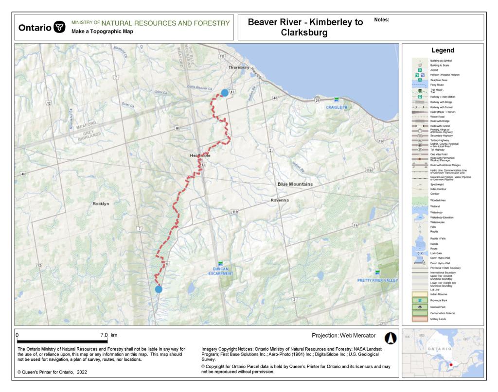
Region/Location: Southwestern Ontario; Kimberley, Ontario
Trip Duration: One day
Distance: ~20km total (~20km on river; log jam lift overs and 20m portage around Slabtown dam)
Loop: No
Fees/Logistics: Free parking at Beaver River Access Point 1 in Kimberley and at Clendenan Conservation Area in Clarksburg; shuttle required.
Trip Journal:
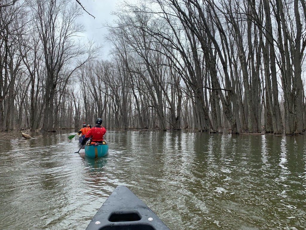
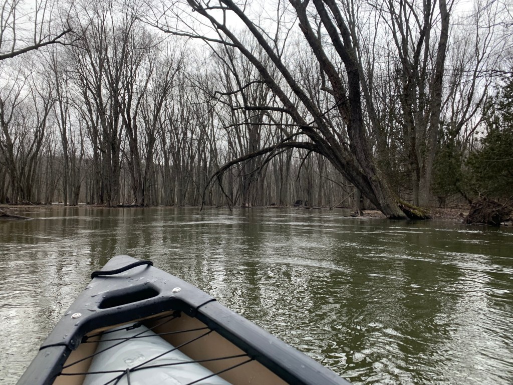
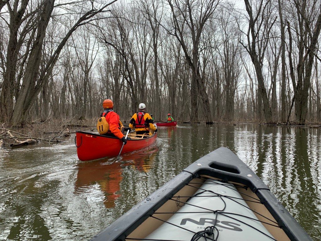
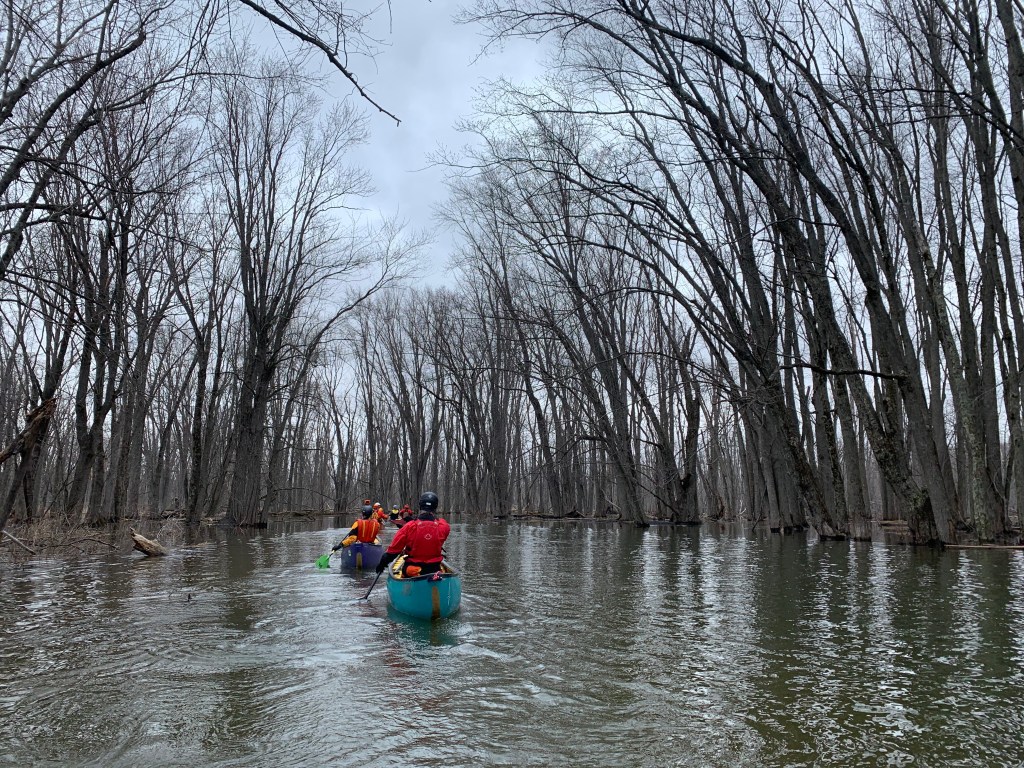
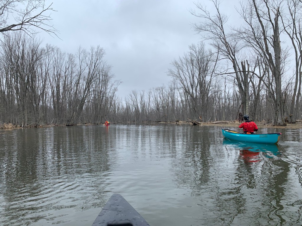
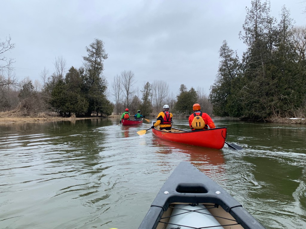
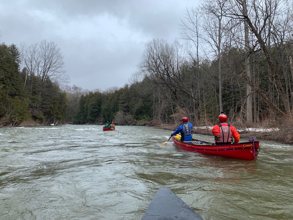
In March 2022, I participated in an early spring run down the Beaver River from Kimberley to Clarksburg, Ontario, coordinated by the Wilderness Canoe Association (WCA). The route cuts north in the Beaver Valley, through the Niagara Escarpment en route to the southern edge of Georgian Bay. The upper portion of the route, from Kimberley to Heathcote, is known for its easy, scenic paddling through flooded silver maple forest and farmland, while the bottom portion, from Heathcote to Clarksburg (and beyond to Thornbury), is characterized by thrilling rapids, especially early in the season.
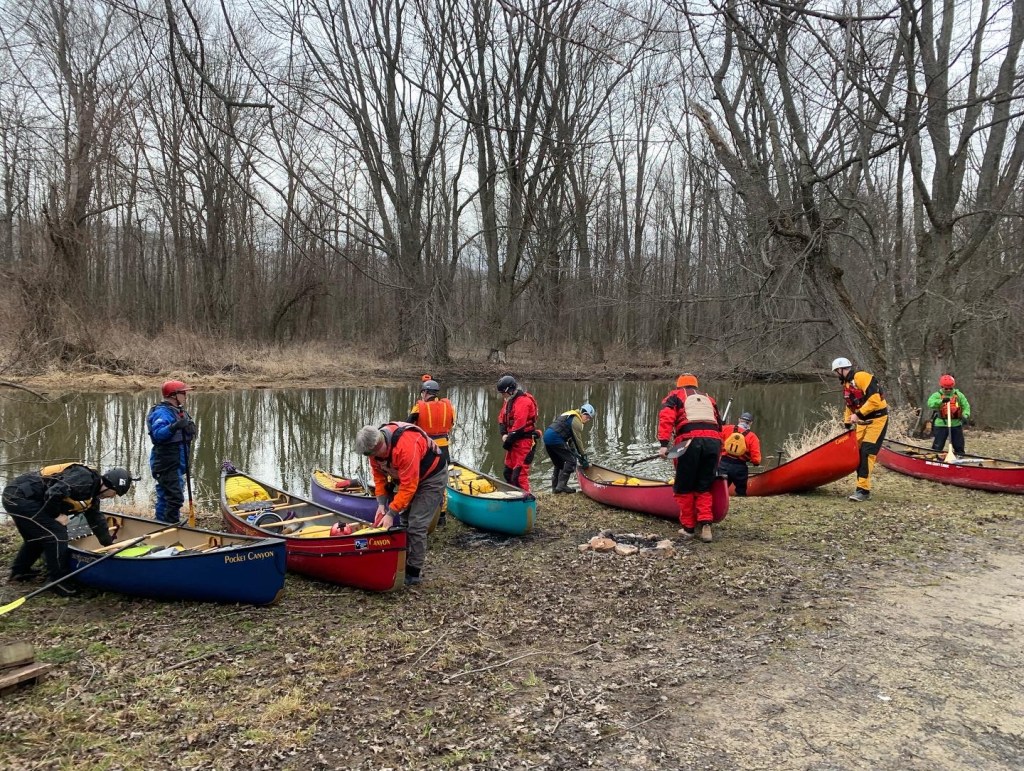
With vehicle shuttles arranged, our group of 12 paddlers departed from Access Point #1, off Grey Road 13 (not far from Old Baldy Conservation Area), early on a chilly, overcast morning. Ice lined the river in some areas, but we were fortunate to have a clear path through the flooded forest, with the exception of an occasional beaver dam or log jam. The paddle was calm and picturesque, with the dense forest offering a distinct feeling of solitude.
Given the time time of the year, the route was largely devoid of visible wildlife during our paddle. Unsurprisingly, however, the swamp is home to a rich array of birds, mammals, amphibians and fish. Paddlers who make their way down the Beaver later in the spring through to the autumn can anticipate sightings of beaver, white-tailed deer, muskrat, mergansers, egrets and bald eagles.
The distance between between Access Point #1 in Kimberley and Access Point #2 in Epping is approximately 10 km and took our group slightly over two hours to complete. At this point, we pulled off at Epping Side Road 19 and took a break for lunch.
From here, the winding river gradually opens up and passes through broad swaths of farmland before arriving at Heathcote, entailing an additional 5 km and under two hours of travel. Heathcote also serves as the location of Access Point #3 and is home to Free Spirit Tours, a local outfitter and shuttle operator.
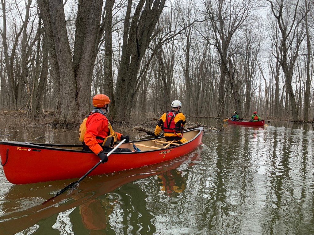
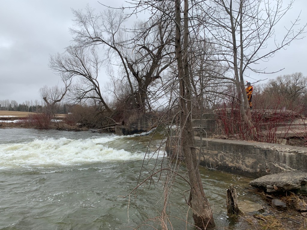
Beyond Heathcote the river picks up speed as it begins to descend more intently toward the bay. In little more than an hour, and about 6 km of travel, we had passed around the Slabtown Dam (Access Point #4), and picked our way through an array of thrilling and seemingly constant swifts and rapids on our way to the Clendenan Dam and the journey’s end.